
Sentinel-1: Radar Datacubes

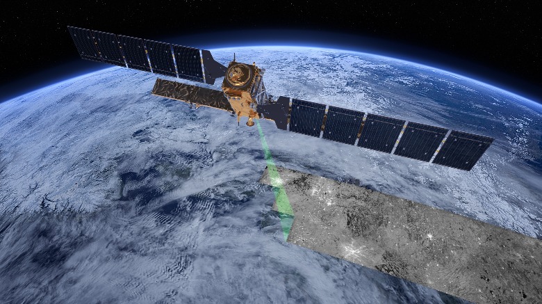
SENTINEL-1 is an imaging radar mission providing continuous all-weather, day-and-night imagery at C-band. The SENTINEL-1 constellation provides high reliability, improved revisit time, geographical coverage and rapid data dissemination to support operational applications in the priority areas of marine monitoring, land monitoring and emergency services.
Acquisition Modes are Stripmap, Interferometric Wide Swath, Extra Wide Swath, and Wave.
Spatial Coverage and Resolution
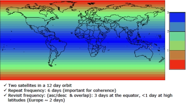
The two-satellite constellation offers a 6 day exact repeat cycle at the equator. Since the orbit track spacing varies with latitude, the revisit rate is significantly greater at higher latitudes than at the equator.
Availablity of modes depends on EW mode will be used primarily over selected European seas, Arctic and Southern Ocean areas, mainly for sea-ice monitoring services and maritime surveillance, with the capability to cover 400 km wide area at each data-take. SM mode is used on request mainly for emergency management. Over open ocean, WV mode will be the main operational acquisition mode acquiring vignettes at regular intervals.
Spatial resolution depends on the acquisition mode and level of processing with individual restrictions:
| Mode | Resolution |
| Strip Map (SM) | 5m |
| Interferometric Wide Swath (IW) | 5m x 20m |
| Extra Wide Swath (EW) | 25m x 100 |
| Wave (WV) | 5m x 20m |
Temporal Coverage and Resolution
Systematic provisioning started in October 2014.
Temporal resolution (revisit): 5 days at equator, shorter mid-latitudes (see graphics at right)