
Sentinel-2: Hyperspectral Datacubes
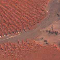
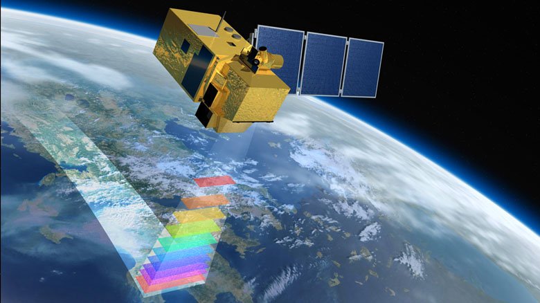
The Copernicus Sentinel-2 mission comprises a constellation of two polar-orbiting satellites placed in the same sun-synchronous orbit, phased at 180° to each other. With its 13 spectral bands it aims at monitoring variability in land surface conditions, and its wide swath width (290 km) and high revisit time supports monitoring of Earth's surface changes.
Several derived products are generated routinely from the L0 data, including L2A.
Spatial Coverage and Resolution
The Sentinel-2 mission provides systematic coverage over the following areas:
- all continental land surfaces (including inland waters) between latitudes 56° South and 82.8° North
- all coastal waters up to 20 km from the shore
- all islands greater than 100 km2
- all EU islands
- the Mediterranean Sea
- all closed seas (e.g. Caspian Sea).
In addition, the Sentinel-2 observation scenario includes observations following member states or Copernicus Services requests (e.g. Antarctica, Baffin Bay).
Spatial resolution is 10 m, 20 m and 60 m

Temporal Coverage and Resolution
Systematic provisioning started in April 2016.
Temporal resolution (revisit): 5 days at equator, 2-3 days at mid-latitudes (see graphics at right)
Data Quality
Sentinel-2 data quality is reported monthly by ESA.